


Table of Contents
If you plan to develop an application that requires a geolocation service, you probably already noticed that there are quite a few APIs on the market. Of course, Google Maps retains its status as the largest player in web mapping services, but that doesn’t mean the services are free of flaws. Today, we observe that both large and small companies are increasingly choosing alternative solutions to Google Maps. With a high degree of probability, we can say that companies that will use competing services will grow in the future. Nevertheless, Google Maps is unlikely to lose ground, as thousands of applications around the world work with integrated Google Maps, because the service provides accurate data and continuously improves it. But there are also thousands of applications that work with other mapping services. Therefore, we want to share a selection of the best services that you can use as an alternative to Google Maps.
The top 5 Google Maps APIs alternatives
The API allows you to interact and integrate with existing map services. These APIs usually include classes for maps and layers to make it easier to create, edit, and display a map without having to code all the low-level logistics. Let’s look at what alternatives to Google Maps are and then discuss when to use the leading players in the Google Maps and Mapbox market.
 Bing Maps – the manufacturer of these maps is Microsoft, which continuously improves its platform and adds new, useful features. This map service can be called one of the competitors of Google services.
The Bing Maps API provides many features, including:
- interactive maps
- static maps
- geocoding
- traffic information
- high-resolution aerial photographs
- 3-D images of the city.
Popular endpoints include calculateRoute, which provides detailed information on walking, driving, transportation routes between locations, and getImageryMetadata, which stores metadata such as URLs and sizes of images placed on maps.
Bing Maps offers a wide range of licensing programs, including Open Value, Open Value Subscription, Microsoft Product and Services Agreement, Select Plus, and Enterprise Agreement. Prices for Bing services are not publicly available. You can get this information only upon request. Like most mapping services, we know that this one is a subscription service and costs $ 4500 per 100,000 transactions per month.
![]() OsmAnd
OsmAnd
This service is an open data platform. The maps of this service work on the principle of Wikipedia. In other words, the map is continuously updated with data thanks to the community of cartographers and ground surveys. Maps and navigation work in both mobile and web applications.
Pros
- The OpenStreetMap API is free. There are no additional costs for your business here.
- As we said, the open-source map is constantly updated with a large number of users.
- There are voice prompts.
- Traffic information is also present.
Cons
The introduction of maps requires the creation of additional services. You will either have to build the necessary infrastructure locally or use off-the-shelf, universal solutions based on OSM data.
A limited number of requests. Since the project, a free exchange of a large amount of data can cause problems up to blocking without prior notice.
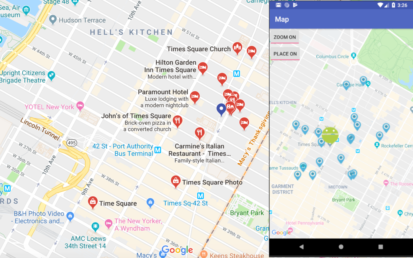
 Mapillary is a platform where maps are created using geotagged user snapshots provided via API. The map service, like Open Street Map, is an open-source platform where each user fills the service with data about cities and roads, mobility and navigation, and autonomous driving.
Popular endpoints include getSingleImage, which returns an image object based on the image ID, and getUserStatistics, which provides data and statistics about the user object.
The main drawback is that the service accepts photos of any quality, which leads to inaccurate data and insufficient data.
Mapillary offers a one-year subscription, where fares are matched by data granularity and road network length.
- Tariffs:
- $ 2,000 per year just for images of a road network less than 1,000 km long
- $ 9,600 per year for images and signs on a road network less than 5,000 km
- $ 50,000 per year for all data on a road network less than 10,000 km
![]() HERE
HERE
This solution has quite a variety of unique mapping tools. Here you will find products for optimizing your fleet’s operation, planning routes, and analyzing traffic in real-time and other business solutions. Still, it should be noted that the card’s coverage in some places leaves much to be desired. For example, you will be able to plot a route and see the numbers of buildings on the street you need, but the point of interest often becomes irrelevant.
Considering that this cartographic service is owned by a consortium that belongs to Audi AG, BMW Group, Daimler AG, the company does a lot to make the service convenient for drivers and logistics companies. Here cards are available in cars from Audi, BMW, Daimler. Here is the project framework for the HD Live Map autopilot systems. Using the API for truck routing can make the path of the fleet as easy as possible.
One of the advantages of Here is a trial period of 90 days. When starting work with cards, you do not need to enter your credit card details, unlike Google, where you cannot start working with a service without specifying your card details.
If you are planning to make your application paid – Here allows you to do it on a freemium plan.
 TomTom
 TomTom
TomTom is a direct competitor to Google Maps. In 2012 Apple replaced Google Maps with TomTom for a proprietary navigation application for iOS 6 and still uses them. Huawei is also switching to TomTom this year, thus giving up Google Maps.
- This map service offers the use of raster or vector maps.
- Displays the traffic situation, which is updated every minute in real-time and allows you to build routes taking into account various factors.
- It allows you to find on the map not only a physical address but a business.
- Provides geocoding for validating and structuring addresses globally.
- Maps allow you to use both geofence technology and track how far the object is from the geofence border.
- A complete developer kit: client libraries, documentation, code samples, functional demos, and SDK sample applications.
This provider gives 2,500 transactions per day for free. Then you will have to pay as you go, from $ 25. For commercial applications and logistics businesses, the license will cost from $ 199.
 JawgMaps
If you want an alternative to the Maps API for your business that needs to be customizable and user-friendly, then JawgMaps is worth a try. The set of tools is quite convenient to configure, and you can choose the SDK that suits your solution. In addition to turning the JawgMaps API into a mapping service, you can use it to collect statistics about your users.
Price: Free (50,000 requests) – $500 /month (1,000,000)
The list that we have collected is far from complete. There are also Garmin maps from manufacturers of navigation equipment that are great for aviation and stuff. In this article, we want to focus more on selecting map services appropriate for most services. But we also understand that there are specific activities that may require the use of specialized maps.
Why are Google Maps and MapBox must-have for your project?
We tried to work with different mapping services, but we concluded that Google Maps is not in vain ranked first in popularity globally. Many developers prefer to work with this service, as Google Maps easily integrates with APIs and provides different use cases. For example, interactive maps for taxis and tourist services or navigation for large logistics companies.
In mid-2018, Google began to significantly reduce the number of free JavaScript API calls to dynamic maps. It also required that all API calls use a valid API key associated with a Google Cloud Platform account. As a result, all keyless calls to the Maps JavaScript API and Street View API render maps with low resolution and watermarks.
Small businesses can continue to use Google Maps, as their apps or sites will likely not hit the 28,000 monthly limits. But if your application uses dynamic maps and users regularly interact with them, then the cost of your application is likely to increase significantly.
That is why we decided to analyze Google Maps and its direct competitor Mapbox to understand whether one solution can be replaced with another. The maps of the former are quite expensive to use. Before we get to the comparison, we would like to define Mapbox.
What is Mapbox?
Mapbox is one of the largest providers of mapping services. Its maps are specially designed for websites and mobile applications. Among the clients of this service are such large platforms as GitHub, Foursquare, and others. The service offers advanced features like geospatial mapping and augmented reality (AR).
Some of the data that Mapbox uses is open to editing, and the mapping community is continually adding this data. This approach allows the database to be updated frequently with the latest information. Mapbox uses several data sources: OpenStreetMap (OSM), USGS, Landsat, Natural Earth, and OpenAddresses.
The main map of the Mapbox service is OpenStreetMap, where cartographers are adding various markers, lines, etc., as well as layers from external sources (in GeoJSON, GPX, and other formats).
Mapbox technology is based on the Node.js language, Mapnik (an open-source toolkit for rendering maps), GDAL (a translator library for raster and vector geospatial data formats), and Leaflet (a JavaScript library for interactive maps).
Mapbox also offers extensive and straightforward API documentation.
Endpoints include getDrivingDuration, which returns the duration of the car trip, getWalkingDuration, which returns the duration of the trip on foot, and getCyclingDuration, which returns the duration of the bike trip.
What is Google Maps?
Google Maps is the largest mapping service-provider. This service has an extensive library of related APIs and comprehensive documentation. Please note that Google Maps API is no longer exist. The company has divided its services into APIs with highly targeted functions.
Pros and cons of using Google Maps
About a billion monthly active users use Google Maps, yet this service has its advantages and disadvantages. Let’s take a closer look at them:
Pros
- One of the best-detailed maps in the world.
- Several style options. The JSON-like syntax used by Google Maps is loaded immediately along with the map. It is possible to manage all elements of the map.
- Street View is a feature that allows you to view street panoramas from different angles around the world. This feature can visualize Keyhole Markup Language (KML) and GeoRSS data on a map.
- By integrating Street View into their software solutions, businesses can allow customers to visit their locations virtually.
- Extensive language support. Many inhabitants of the planet can use the service in their language.
Cons
- Browser limitations. Not all web browsers support the Google Maps JavaScript API.
- Complicated pricing system for using Google Maps. You have up to 28,000 downloads of dynamic maps per month; or up to 40,000 geolocation calls, for example. Upon expiration of this limit, you will be charged a fee. But it’s not that simple.
- The free plan for Google Maps is limited to 10 requests per second. You must continuously monitor your API usage to check whether you exceed the limits. If it happens, your account will be blocked.
- Offline maps. There is no offline mode in the Google Maps API. The proprietary Google Maps application has it, but it is limited by the application itself and is not available through the API, so it cannot be integrated into other products.
Pros and cons of using Mapbox
Mapbox is a fast-growing location data service that offers a variety of mapping tools to both developers. This service has about half a million monthly active users. But what makes it more attractive to customers?
Pros
- The most customizable interface. Most mapping systems come with a ready-made map. Mapbox gives developers a choice. There is an opportunity to create your unique style of the map, choose fonts, etc. to fit the map to your style. Mapbox Maps SDKs are based on Mapbox GL Native. This library allows you to embed interactive custom vector maps in your applications on multiple platforms.
- Integration with PubNub enables you to leverage infrastructure for real-time streaming, dynamic mapping, as well as geocoding, and heatmaps.
- Mapbox AR. The Mapbox Maps SDK for Unity allows you to create a location-based experience using points of interest (POI) worldwide. You can add locations using draggable maps and POIs, 3D buildings and terrain, and more.
- Offline map mode. Mapbox powers offline work with vector maps. Apps built with the Mapbox Mobile SDK can load maps for selected geographic areas when the device is not connected to the Internet. Also, the Mapbox mobile SDKs automatically cache tiles and other resources requested during regular use.
Cons
Relatively weak coverage. There are many places where Google has better reach than OSM-based services. The reason for this is mainly because Google Maps is regularly being updated. For example, in Israel, Google Maps would be the best option.
How to choose the right map API?
Of course, the final decision rests with the client, which Map API will be integrated into his digital solution. But as mentioned earlier, in almost all cases, we use Google Maps because they have undeniable advantages. To determine precisely which Map API is right for your business needs, you first need to answer a few questions:
#1 What business are you planning to run?
- Delivery or logistics app upon request. For example, Laundry King was created by the Altamira team to develop a client’s business. This app’s idea was to create a user-friendly on-demand laundry service solution that users of all age groups could easily install and use. With the help of the application, the laundry clients can see the prices and order the collection of clothes for washing from the house’s door without leaving the application. This digital solution has made laundry collection and delivery fast, convenient, and efficient. And all because it was built, taking into account all the business needs of our client.

- Travel planning app. With Google Places and detailed 3D images, you can provide users with the information they need to plan their trip. Our project Sea Guide is a Location-based travel app connecting the yacht lovers community and helping sea travelers to explore new destinations and sailing spots.
- Social networks and dating apps. We recently completed the Bestyn – app for a neighbor’s project. The idea behind Bestyn was to create a convenient multifunctional solution for neighbors. They should be able to chat, check out, add local news, offer on-demand services, and organize local events. So for the on-demand services, a reliable payment method was needed. In such solutions, geolocation should be determined.
- A platform for live events. Maps offer asset tracking and design tools to help you create interactive maps of events, including real-time data.
- Game application. With Mapbox, you can easily create 3D worlds for custom maps. The Mapbox AR location platform provides a range of features for creating AR games and experiences, including landmarks, real-time location data, and UV mapping of rooftops.
- Weather tracking apps. We created Presque Isle Park is an iOS application that has all the real-time buoy and weather station data. It also has notifications of open/advisory/restriction notices for all the beaches that day and alerts if there is an emergency.
- And many more options where cards can be used: for geofencing, for a smart home, and so on.
#2 What is the size of my business?
Choose a card provider based on your business’s size and how your digital solution often calls on them. Be sure to pay attention to the dynamics of your users’ growth, since at some point, the cards you are used to using may become irrelevant.
#3 What part of the world is the project focused on?
Although Google Maps is actively working to improve its maps, including coverage, there are still places on the map where they have a gap. However, with other map providers, Google’s gaps can be filled.
FAQ
The geolocation feature is vital for many applications. After all, even if you do not provide taxi services or delivery of goods, the application’s interactive map can be useful. For example, you have a network of pharmacies and using your application. Customers can check the price of a drug and order it. But what if the drug is not available in all pharmacies? With the help of maps, you can display pharmacies on the map, where there is the required drug, and the client, in turn, will choose the nearest one from which it will be convenient for him to pick up the order. There are a lot of examples where integration with maps can be useful. If you already have an idea for a location-based application or think that developing such an application can make your business more profitable, contact us. Our business analyst will help you study the market for similar applications and grow a business strategy for your solution.


